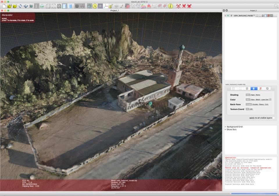
Using drones and open source software, we’re are able to prepare in-house detailed aerial photography and digital terrain mapping.
Using drones and open source software, we’re are able to prepare in-house detailed aerial photography and digital terrain mapping.
by
Tags: